This webpage is now somewhat more eloquent than its earlier version, because - as of late August 2018, as I edit this - I am running a thirteen-seismic-station network along Black Canyon Creek in southern Yavapai County, Arizona, in order to record any seismic signals generated by summer-monsoon flash floods! One of the network's auxiliary trail cameras photographed five rapid pulses of water flowing down the creekbed in July 2018, along with the aftermath of several more floods which occurred either overnight or during extremely heavy lens-obscuring rain. I hope to collect even more flood pictures in several weeks... In the meantime, see one of my favorite floods HERE! And another one HERE!
...all right, they're all my favorite floods.
The network's seismic data will eventually be available through IRIS DMC, because I borrowed the equipment for twelve and a half of the seismic stations from IRIS PASSCAL; the thirteenth station's seismometer and digitizer belong to the USF seismology group. I am deeply grateful for both loans of equipment and for all of the invaluable initial training and ongoing technical assistance provided by IRIS PASSCAL; I am equally grateful for all help I received with installing the stations, most of which reside in more-or-less-solid schist surrounded by cacti, ant hills, and no shade to speak of. I'm going to ask the people who carried seventy-pound batteries and dug holes in typical early-May central Arizona heat for permission before associating any individual names with this weird webpage, but if any of you are reading this, you know who you are, and, thank you. Many, many, many thanks also to the person who has served as my emergency backup on every several-day-long network service run, at least once per month since May, with great patience and no complaints; to the Geological Society of America and the USF Tharp Scholarship for funding this experiment; to John Griffith and Peggy Scheib Griffith-Zitzewitz for the same, posthumously, and I would infinitely rather that they had lived to hear about this project themselves; and to the Hassayampa Field Office of the BLM, for permission to install this network in their management area!
In addition to the thirteen seismic stations and two cameras, the network includes a small weather station, which records an assortment of precipitation, wind, and temperature data for every half-hour; I plan to use its data purely for assistance in differentiating rain- and wind-generated seismic noise from flood-generated noise, since I doubt it meets any official standards for weather data - for example, the station is only about one meter above the ground surface, because I'm not very tall and couldn't otherwise ensure that the station was level - but I will gladly provide that data upon request.
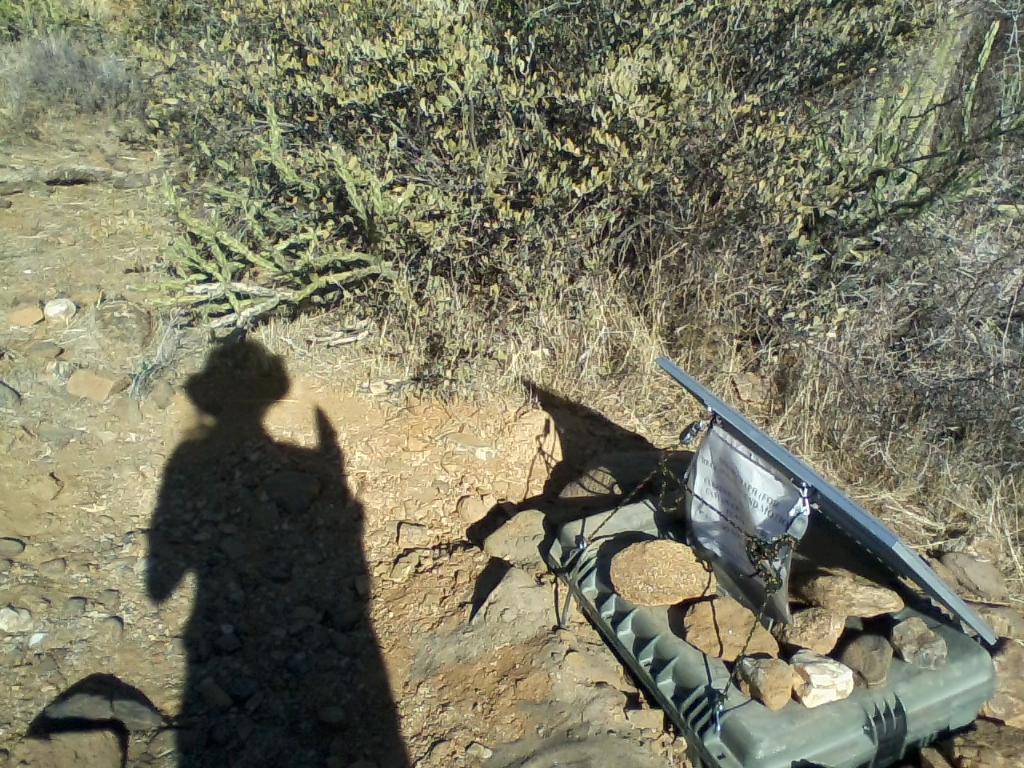
Here's a late-May picture of one of the short-period seismic stations, FWS03! The shadow with the hat and clipboard is mine.